Pssst…if you haven’t read Day 1 yet, go read that here first!
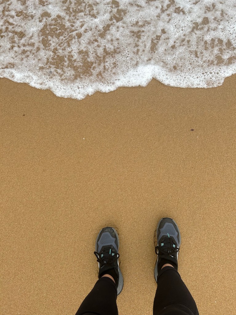
February 7, 2023 — I love making early-morning memories. The day before, a few of us were talking about taking a sunrise swim at the beach just a couple blocks from our hostel. It ended up being just two of us, but it was one sure-fire way to wake up and was such a unique experience.
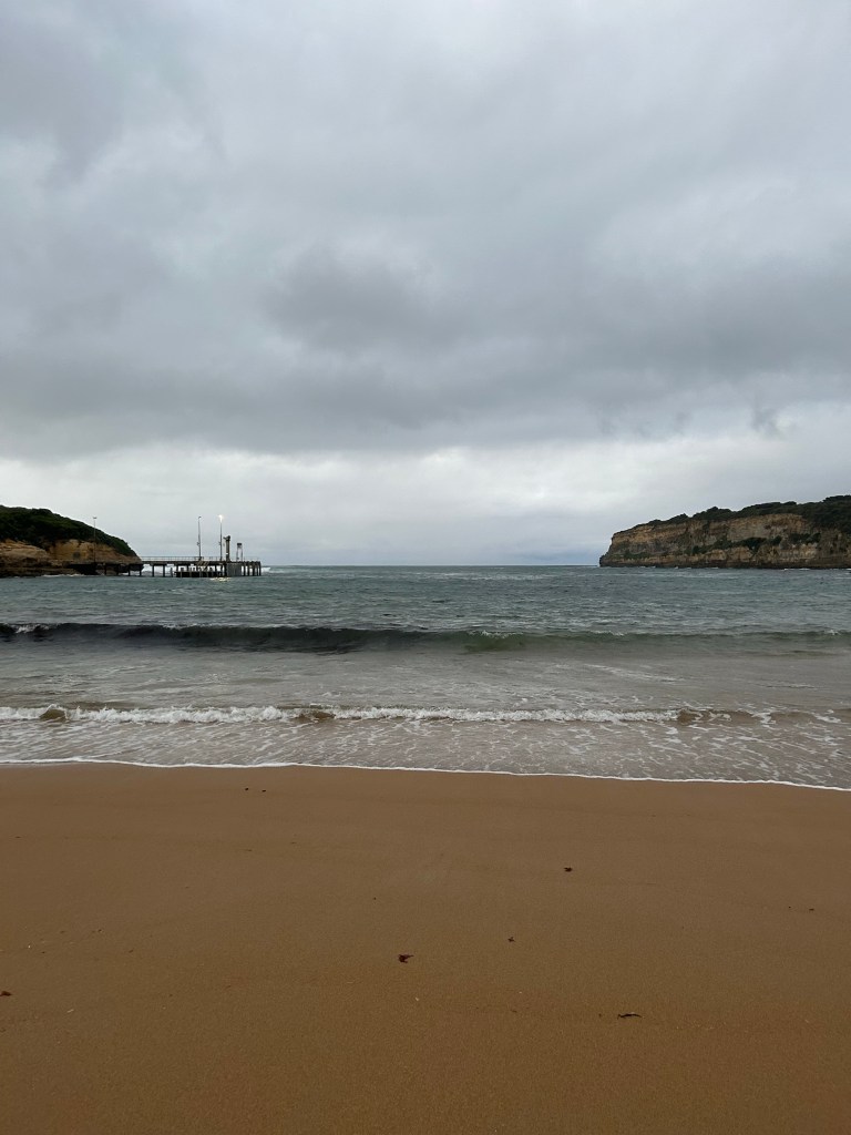
When we got back, I took a hot soak in the shower before climbing back into bed for a little while. Breakfast wasn’t until 8:00am, so we had some time to chill. After breakfast (with lots of options — fruit, yogurt, granola, toast, Nutella, and more), we made our way to our first stop of the day: Loch Ard Gorge. This spot was named for the wreck of the Loch Ard. Fun fact: part of the Great Ocean Road is also named “Shipwreck Coast” due to the sheer volume of shipwrecks it has experienced over the years. In this particular shipwreck, the bow was torn right off and the ship sank, leaving only the land watchman as survivor. His job was, ironically, to watch out for land and alert the crew and captain if there were any potential problems. After he washed ashore, he heard shouts in the water and swam back out to search for survivors. He found only a young girl by the name of Ava Carmichael and dragged her to the shore. No one else washed ashore. Eventually, they both were able to climb up the cliffs and find rescue.
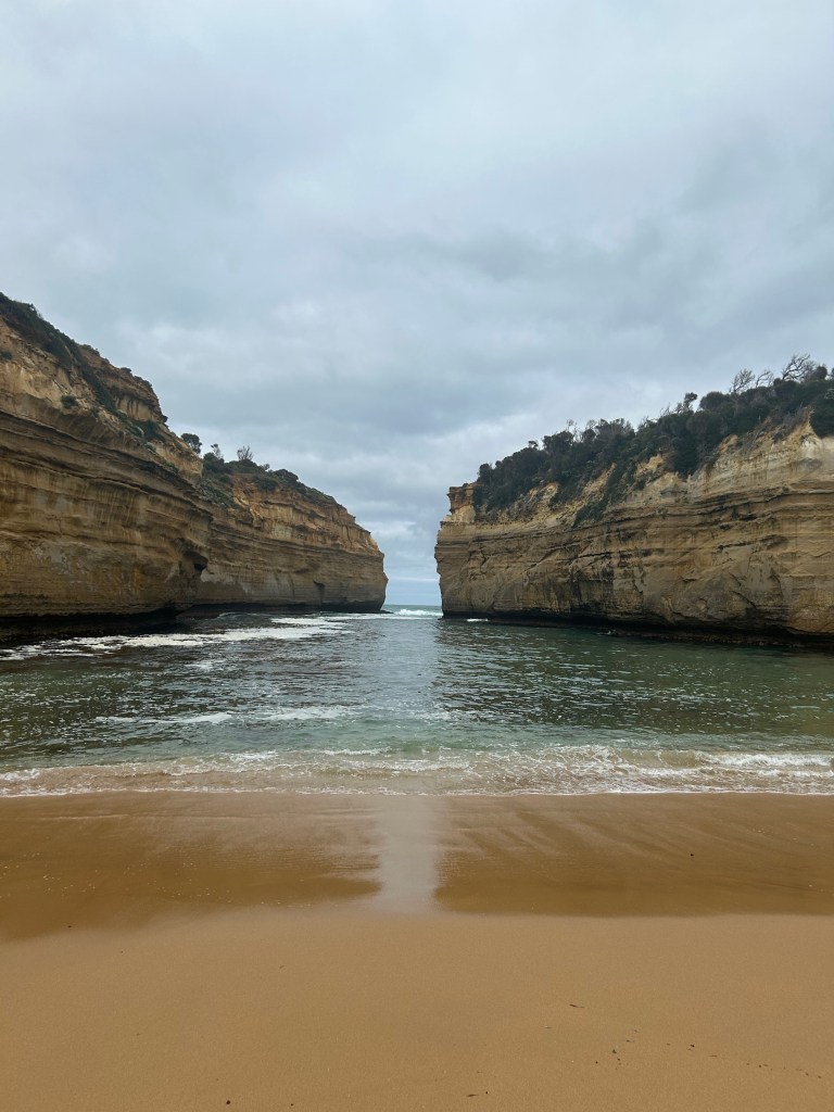
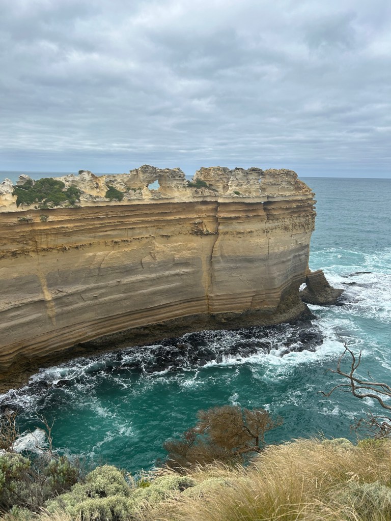
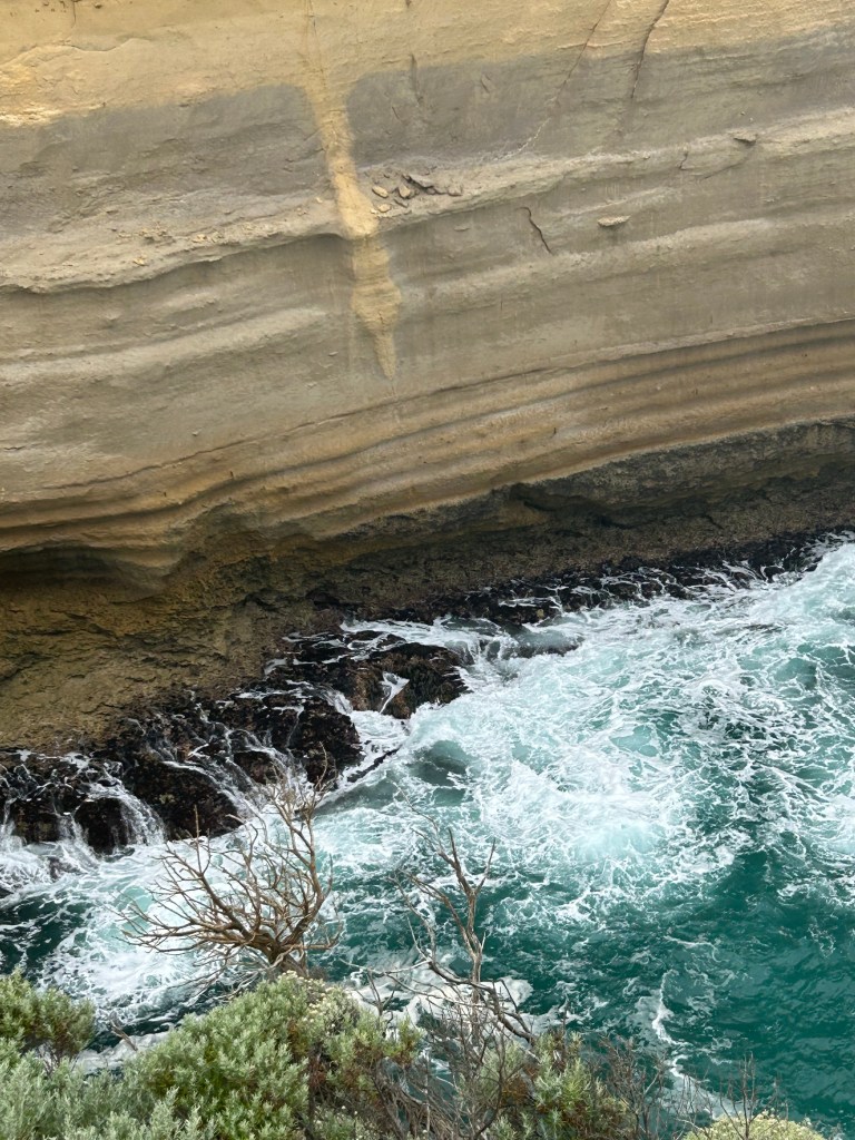
At the same stop, we took a short walking path to the Island Archway formation, which, you guessed it, is no longer an archway! It’s still incredible to see these formations today and wonder about how they will change in the coming years. If you visited the cliffs today and again ten years from now, chances are very good that you would have entirely different pictures.
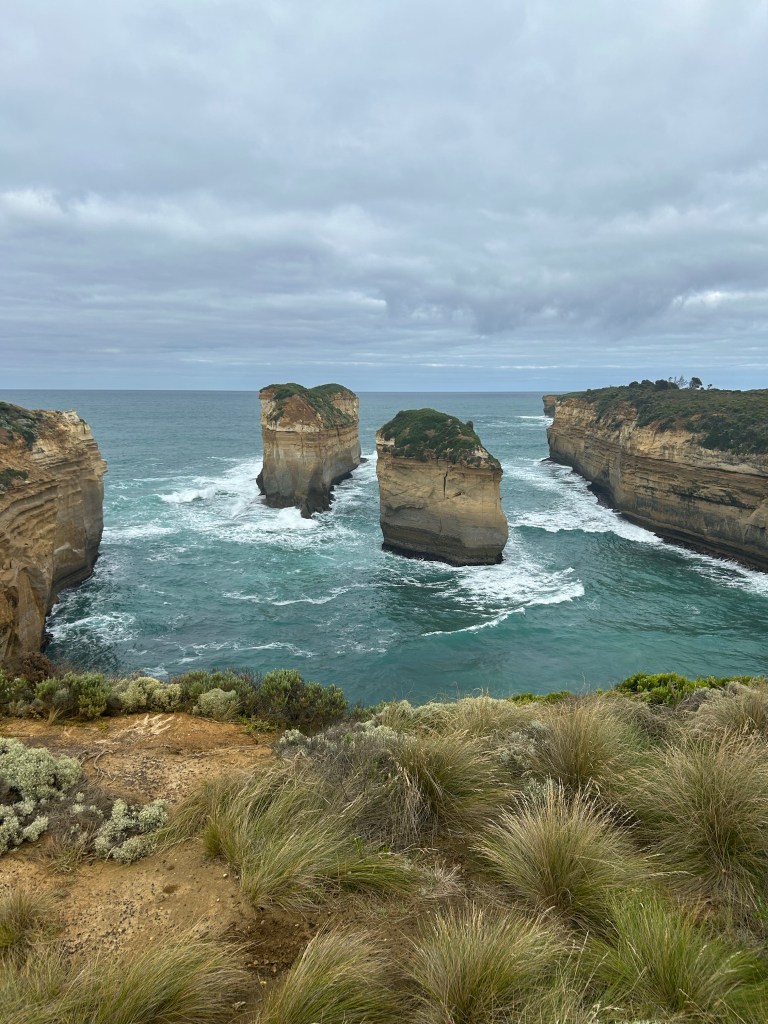
At the end of the short walking path, we encountered the Razorback, a huge rock stack with very cool edges and bumps along the top — or “back” — of the rock. These are formed by wind-blown spray, which hardens small areas of rock while other, softer rock erodes away, according to the informational plaque at the site. The grooves along the side of the formation are caused by waves. The Razorback used to extend a lot further out to sea, but erosion has cut it back a lot as the waves created weakness in the base and rainwater chipped away at vertical cracks in the rock, leading to the collapse of huge sections into the sea.
We walked back to the bus and then made our way back to the Twelve Apostles for daylight viewing!
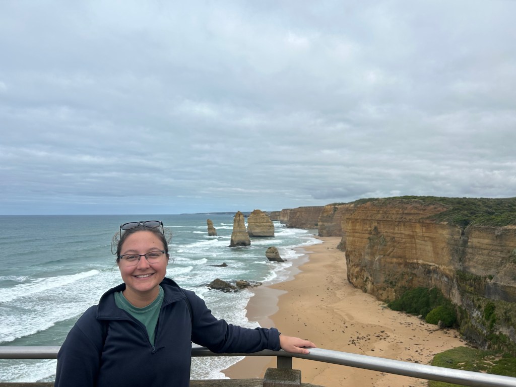
Fun fact — there never actually have been twelve apostles. There have only ever been nine and today, seven remain.
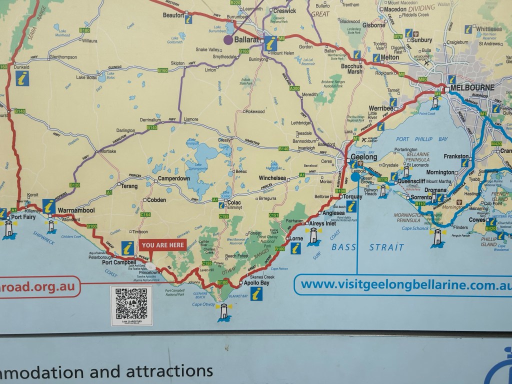
At the Twelve Apostles viewpoint, the rest area has a map that shows the whole of the Great Ocean Road drive and surrounding area. We came from Melbourne, passing through Inverleigh the previous day and all the way into Warrnambool, where we stopped for lunch. All of this is along road B140 on the map. We then travelled down along the coast to Port Campbell, just to the left of the “You Are Here” sign on the map. We still had the whole of the red line to drive back into Melbourne that day. We set off from the Twelve Apostles at around 10:30 that morning.
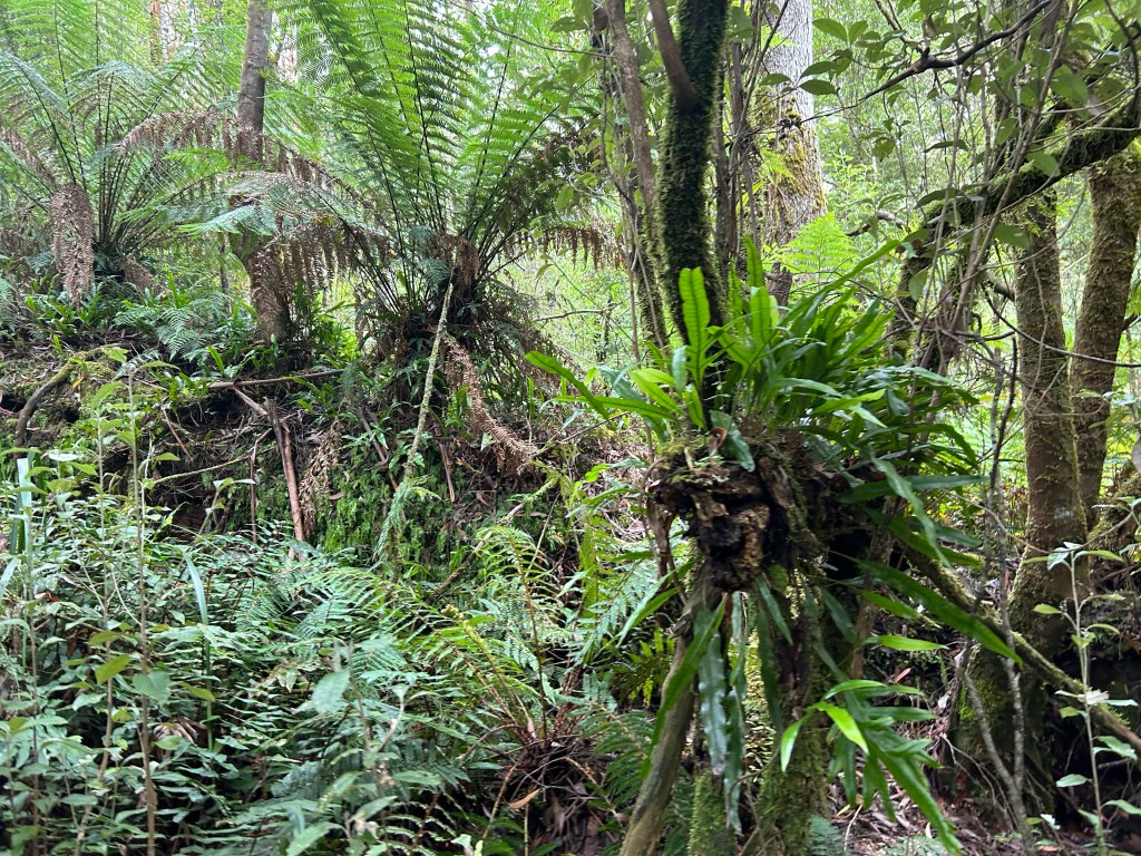
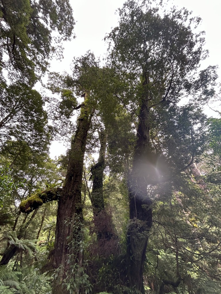
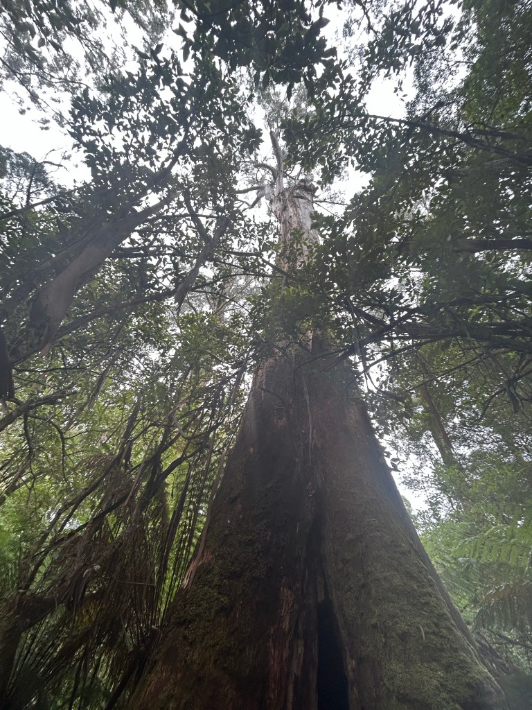
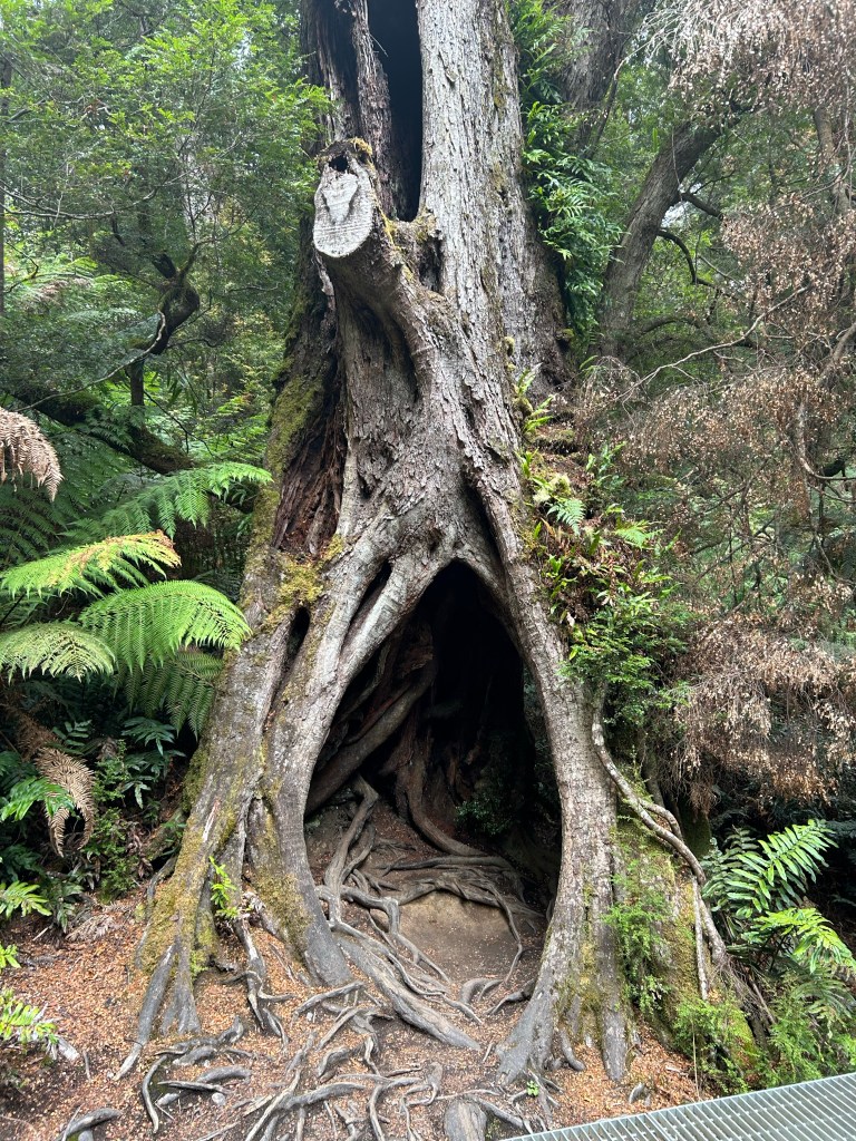
There were super crazy winding roads for the bulk of the rest of our journey, which first took us into the Otways National Park, where we stopped at Maits Rest for a walk through the cool temperate rainforest.
Much of the continent used to be covered in rainforest just like this, but most of it has since been cleared to make way for development. A large portion was cleared for shipbuilding before people realized that the huge trees that grow in this area actually aren’t the best for building ships.
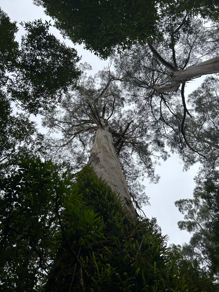
Maits Rest is named for the district’s first forestry officer. According to the park’s signage, he would often stop in the exact spot that the walk starts to rest his horse before continuing on his route: all the way from Apollo Bay to Hordenvale. And what a beautiful spot for a rest it is!
Our next stop was in Apollo Bay, where we stopped for an hour’s rest and lunch. I actually had a beer (!!!) and a chicken wrap. (If you know me, you know I’m not a beer drinker, but I’ll admit it’s starting to grow on me. It certainly helps that there are really great options down here in Australia.)
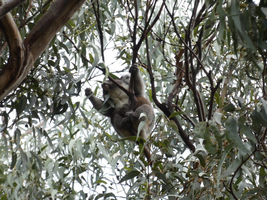
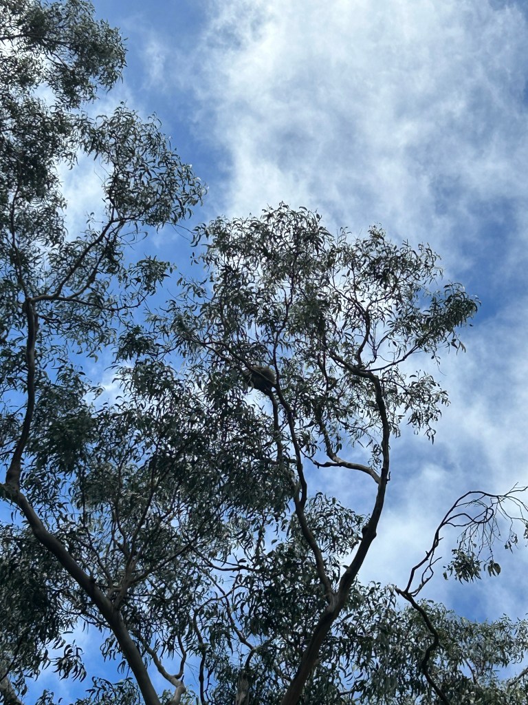
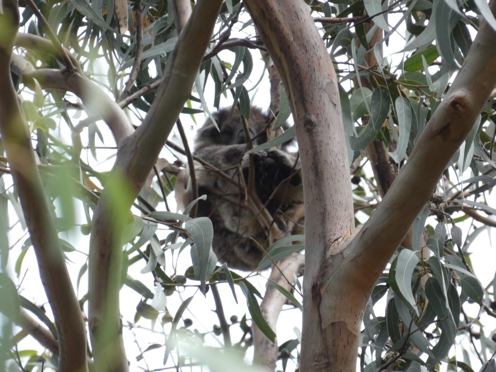
After lunch, we drove quite a ways up a very large hill to see more koala bears. I was so proud of myself for spotting three altogether, two completely on my own and one with a little help for our tour guide. Unfortunately, I really had to use the bathroom and walked really quickly down the mountain, otherwise I might have seen a few more.
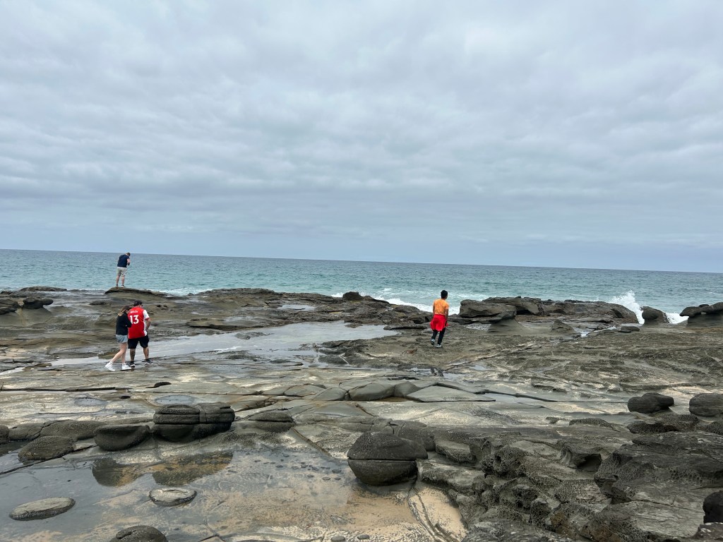
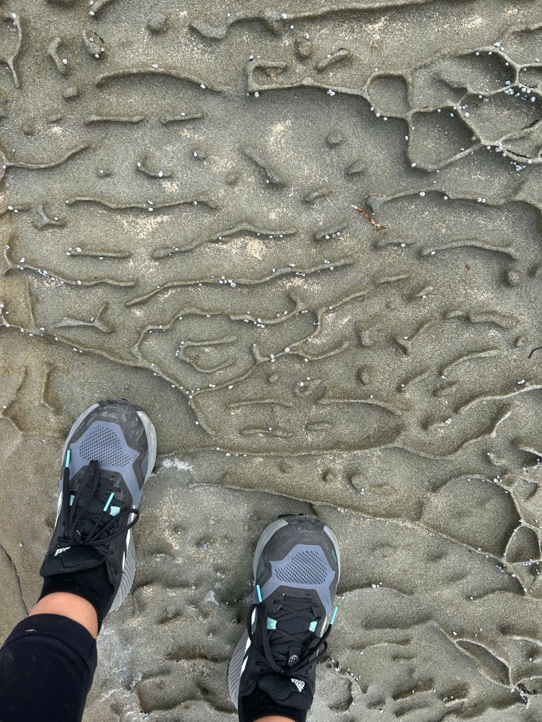
Eventually back on the bus, we made our way to Artillery Rocks. The rock stretches quite a ways out to sea, and you actually can walk on it. In fact, it is a designated rock fishing spot. The coolest part about it, though, were these little grooves in the rock that made us feel like we were walking on the moon.
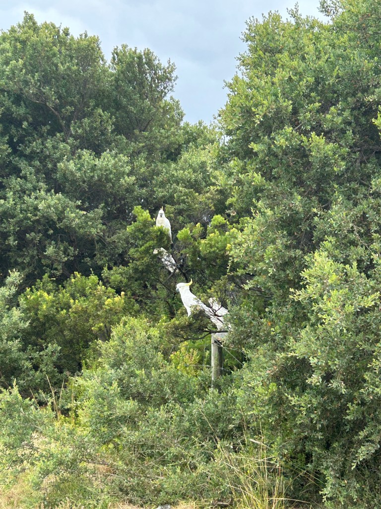
In Lorne, we stopped to see cockatoos and hoped to see stingrays as well! The cockatoo sightings were immediate and I couldn’t help but think of the movie Rio when I saw them. Except they aren’t evil like Nigel.
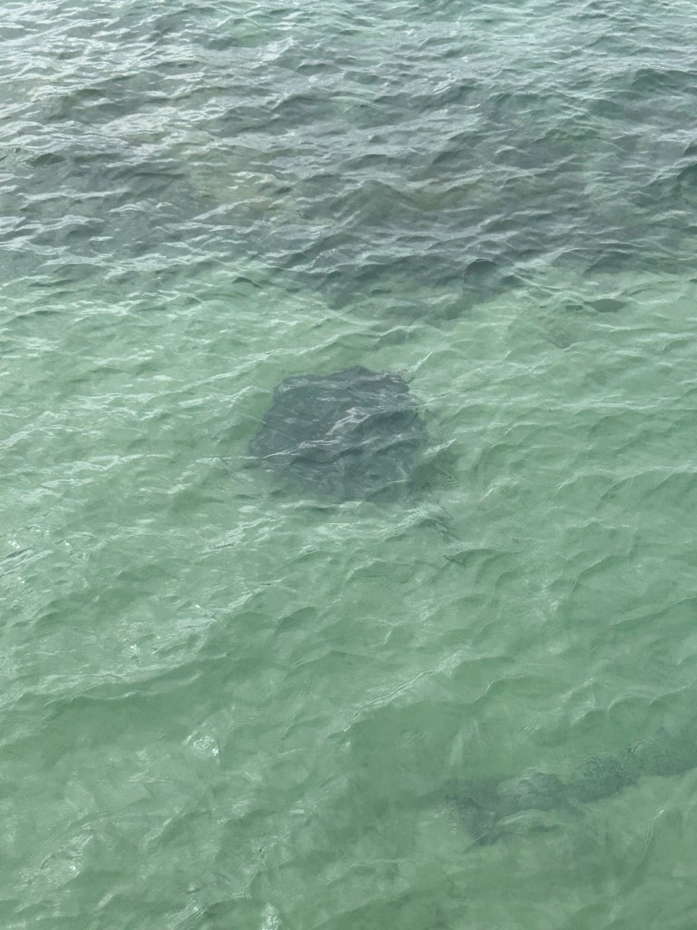
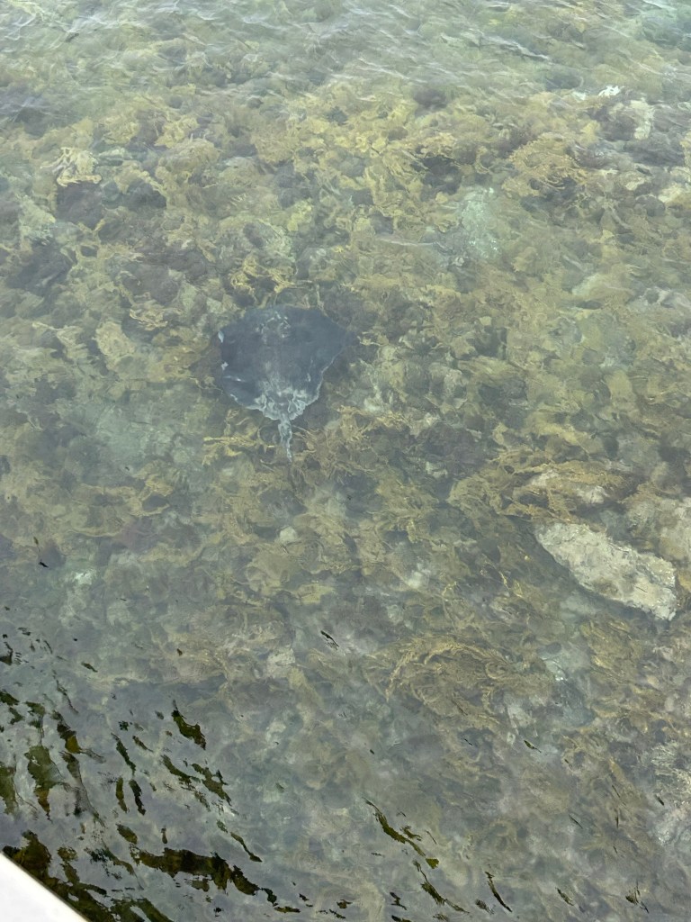
We were also really lucky because we did get to see stingrays — two of them! They’re quite difficult to spot, but the clarity of the water does make it a little easier. The second one was sprinting from one side of the bridge to the other in the water. Watching them move was incredible.
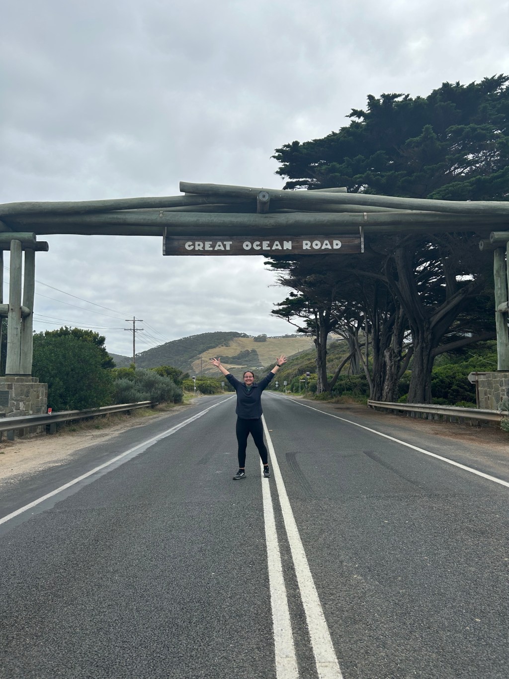
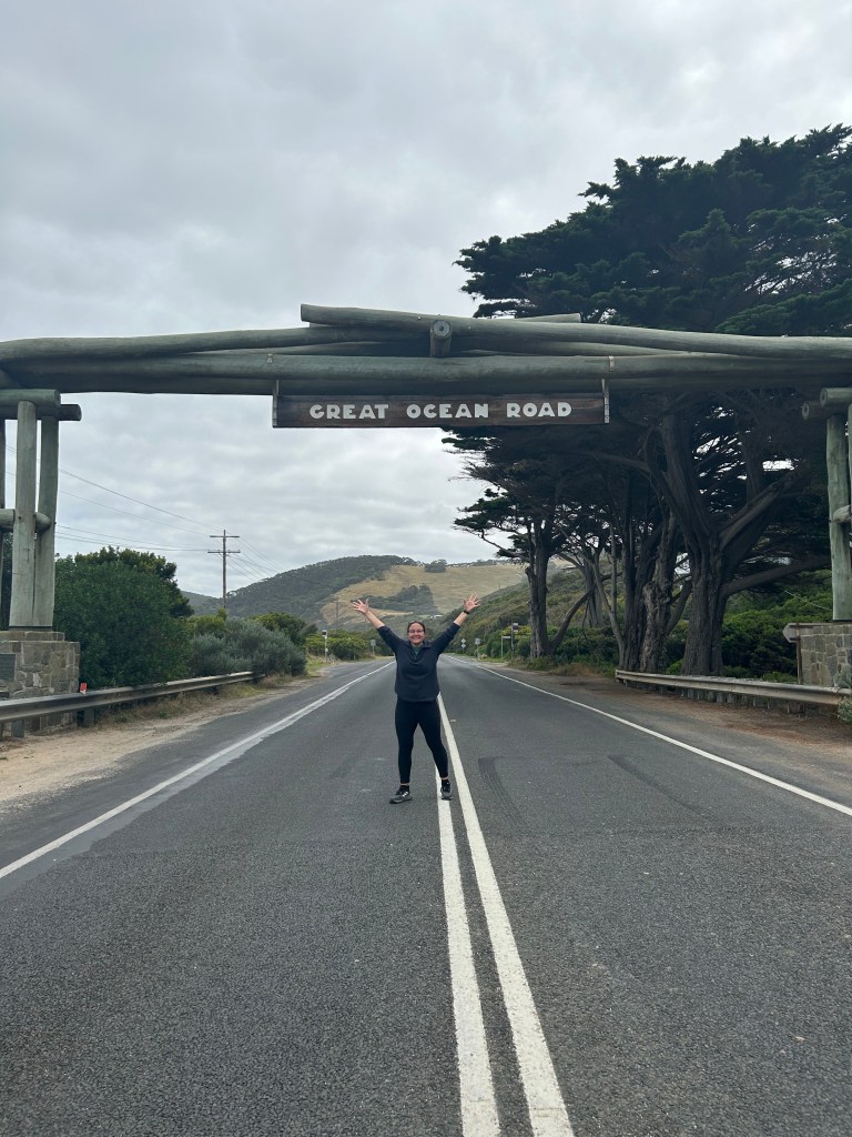
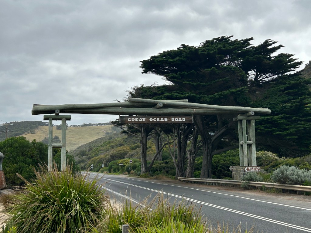
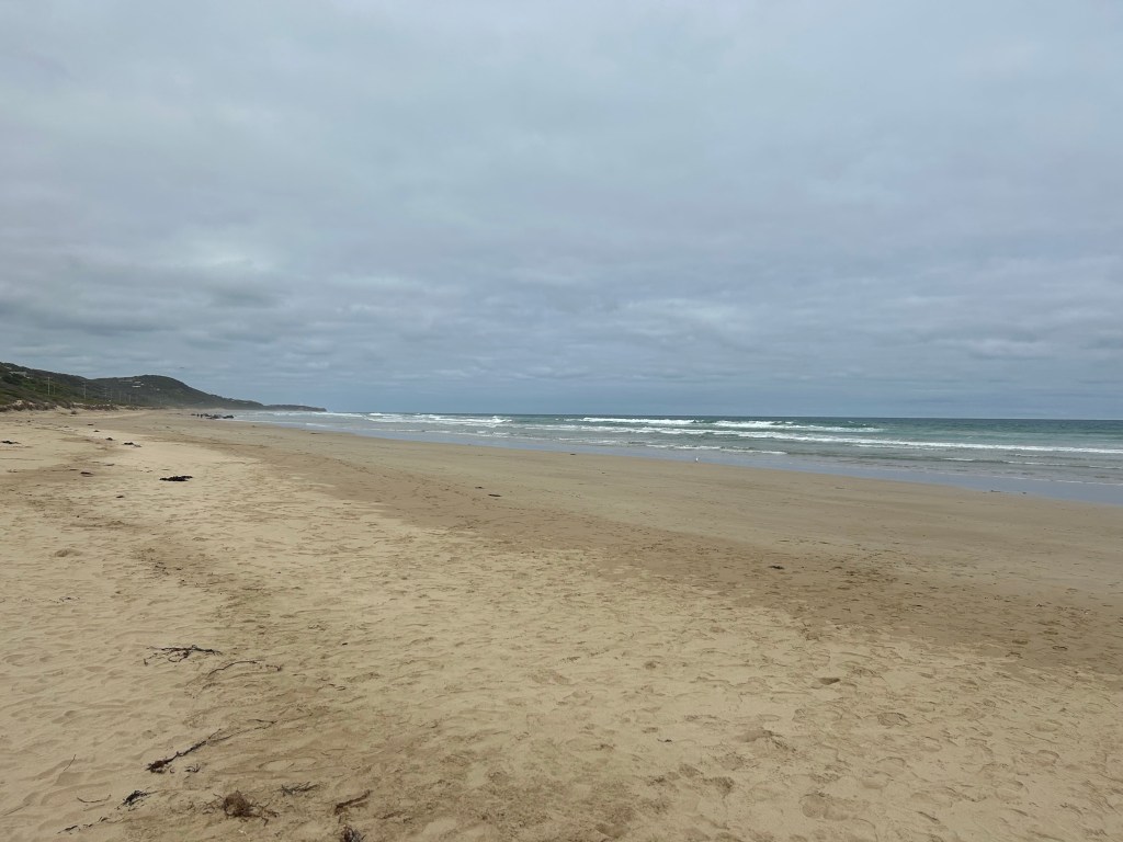
One of our last stops came at Fairhaven Beach (where are my Trekkies at?!) and the Great Ocean Road archway sign. This is where we learned the history of the Great Ocean Road.
In 1919, the government was concerned about finding work for the thousands of soldiers returning from the trenches in World War I. A plan to build a road along the ocean, which would link up all the small settlements and become a great tourist attraction and point of pride for Australia, had been in the works before war broke out, and post-WWI seemed like a perfect time to start. The road opened in 1936 after fourteen years of long labour by 3,000 returned servicemen. In the process, 316 men died from landslides and 20 from gangrene. The finished road, however, stands as testament to the servicemen that built it, and many sites along the way are named in the memory of the First World War. Artillery Rocks, where we stopped earlier, is one such example. The arch that stands here commemorates the construction of the road and is actually the third arch constructed on the site as the first was replaced in 1973 when the road was widened, which subsequently burned down in the Ash Wednesday fires and was replaced. It marks the official start of the Great Ocean Road.
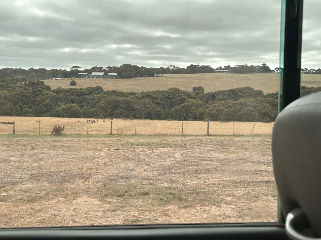
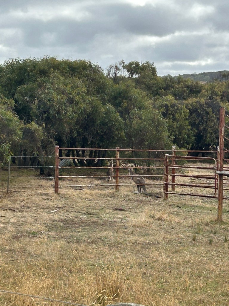
Our very last stop, after passing through Aireys Inlet and Anglesea, was at a little patch of land just opposite Bells Beach, and Bells Beach itself. On that little patch of land, we got to see kangaroos! There was a whole mob of kangaroos just sitting in the field, and although it took them some time to adjust to us being there, we got to see them quite up-close. I love seeing wildlife like this — it’s just breathtaking.
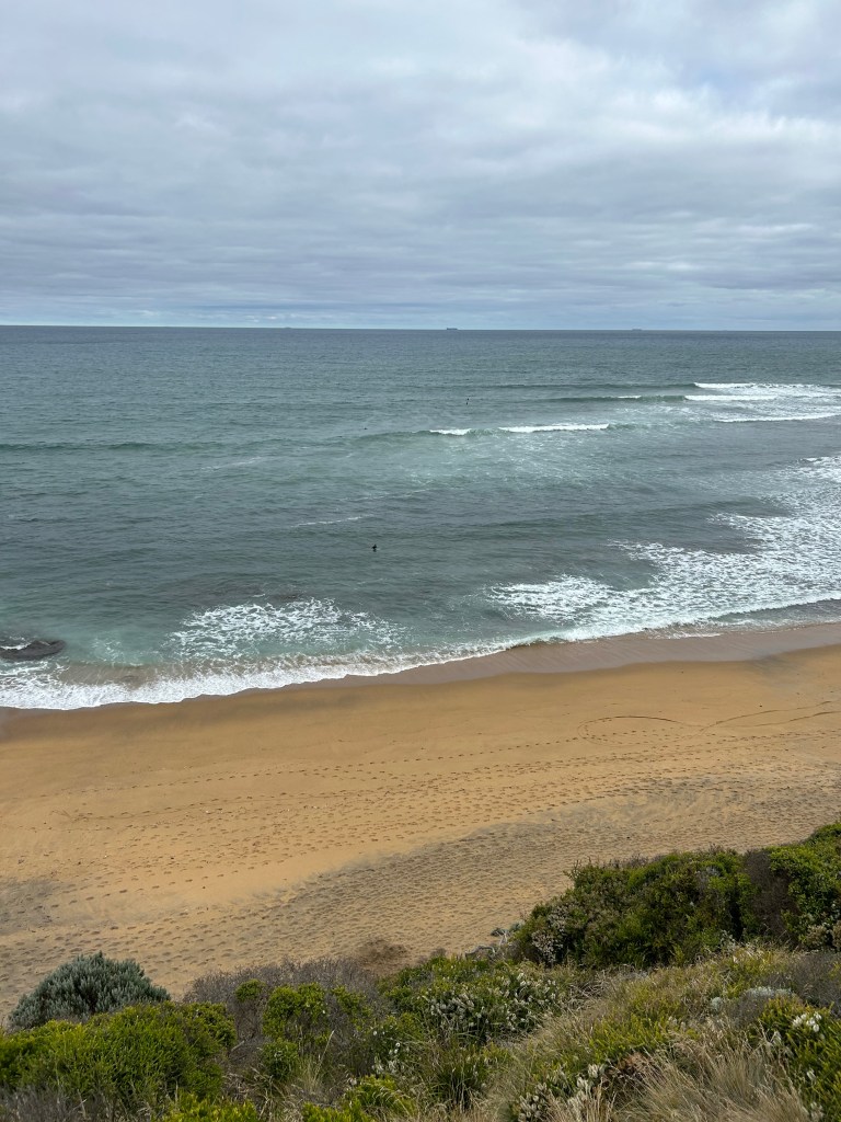
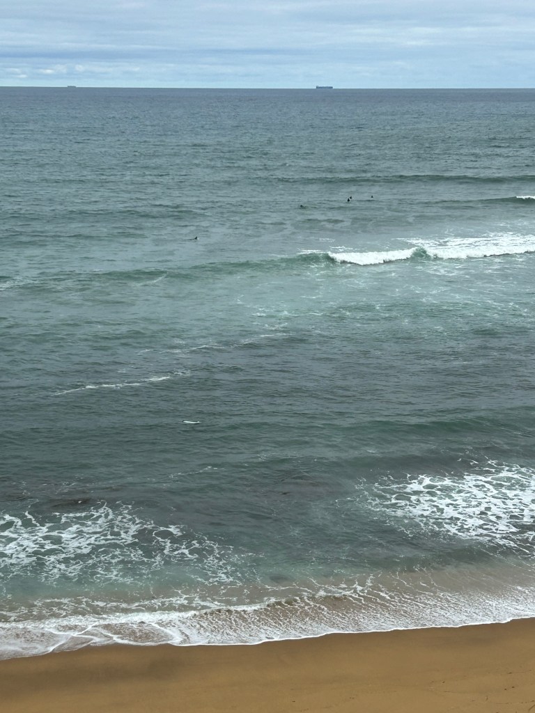
We crossed the road to Bells Beach, which is the site of the Rip Curl Pro surf competition each Easter. There were tons of people out on either side of the beach, riding the surf. I can’t wait for my surf camp in Byron Bay.
The last stretch of our drive turned the landscape to farms and fields once more, until we eventually merged onto the highway back into Melbourne. It was so sad saying goodbye to everyone. That’s the hardest part about these trips: the people you meet that you might never see again, but with whom you got to share incredible experiences. We made a deal that we’re going to email the group a year from the date of this tour, since we were all emailed pictures from the tour. We waved and clapped as each person disembarked, until finally it was my turn. I got my bag, stepped off the bus, and once again turned to face Melbourne and the next stretch of my journey, alone.
If you’re in Melbourne and don’t have the means to do the Great Ocean Road on your own, I highly recommend booking a tour. I did mine through Ride Tours and I had the best time.
Like, comment, and share if you enjoyed this post! And follow me on Instagram @cait_around_the_world for more!

Leave a comment